
Structures
Anything the consignment has to pass over, under or through.
- Bridges
- Underpass bridges
- Footpath bridges
- Culverts
- Railway level crossings
- Toll plazas
Monday to Saturday, 09:30 - 18:30 IST
A route is not surveyed from a map. It is driven end to end, and every bridge, cable, junction, culvert and narrow section along it is measured, photographed and fixed to a GPS coordinate and a chainage.
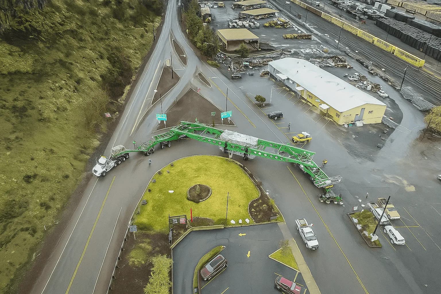
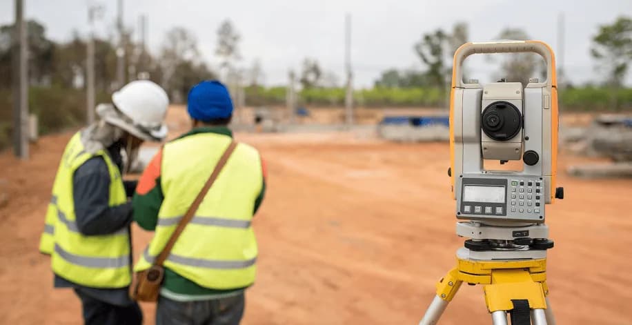
Recorded in the field, point by point
Location-Based Intelligence is about facilitating hindrance-free movement of goods by conducting route surveys with a team of experts on the ground. The survey team produces reports with recommendations that let a consignment move without surprises, using survey tooling that records every point with coordinates and photographs so accuracy does not rest on memory.
GTS works with engineering and civil specialists to execute route surveys, identify the shortest feasible route, establish load securing, perform vehicle stability calculations, and determine bridge capacity and road filling requirements together with the associated civil costs — so a movement is planned on cost as well as on feasibility.
The same team can support industries, logistics operators and transport companies in specifying trailers suited to a particular cargo and application, where standard equipment does not fit the consignment.
Included where the agreed survey scope covers it. Calculation work is quoted against the cargo envelope and the structures actually on the route.
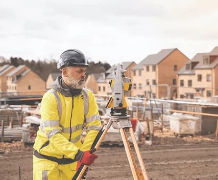
Measurement, not observation
A survey is only useful if someone who has never driven the route can work from it. That is why every obstruction carries a position, a measurement, an instruction and a photograph.
Everything that can stop an over-dimensional consignment falls into one of these. Each is measured against the cargo envelope, then classified as clearable, avoidable or blocking.
Anything the consignment has to pass over, under or through.
Where the road itself, rather than an object on it, is the constraint.
The height-critical items, and the ones most likely to need a shutdown or a temporary removal.
Fixed items at the road edge that reduce usable width at a specific chainage.
The survey data is assembled into documents that different people can each work from — the crew driving it, the authority approving it and the utility owner scheduling a shutdown.
Every recorded point in chainage order, with category, measured dimensions, GPS position, photographs and the action required.
The surveyed route plotted with the obstruction points marked, so the difficult sections are visible at a glance.
General arrangement of the cargo on the selected trailer, with the overall dimensions the route was assessed against.
The route and its points as a GPS track, so the surveyed line can be loaded onto a device in the vehicle.
The route rated section by section, separating what is clear, what needs work and what would block the movement.
The full set of field photographs, indexed to the chainage and coordinates they were taken at.
8 questions on scope, timing, obstructions and how a survey feeds a permit application.
A physical survey of a proposed route, driven end to end, recording every constraint the consignment would meet. Each obstruction is logged with its chainage from the survey start, its GPS coordinates, its measured clearances, photographs, and the vehicle movement required to get past it. It is a field exercise, not a desk study — maps and satellite imagery do not show a sagging cable or a broken culvert.
Chainage in kilometres, latitude and longitude, a plain-language location description, the obstruction category and its measured dimensions, the vehicle movement required at that point, photographs, and a difficulty rating so the report can be read for the hard sections first.
Structures such as bridges, underpass and footpath bridges, culverts, railway level crossings and toll plazas; road geometry including narrow sections, bends, left and right junctions, road damage, gradients and available diversions; overhead obstructions including high-tension, low-tension and towerline cables, tree branches and sign gantries; and roadside objects such as camera poles, sign boards, utility poles and petrol bunk forecourts.
In practice, yes. Road and bridge authorities want the route, the structures on it and the loads those structures will see, and utility owners want measured clearances and locations before they will schedule a shutdown. A GPS-referenced obstruction schedule is what those submissions are built from.
An obstruction schedule in chainage order, a route map with the points plotted, a GA drawing of the cargo on the selected trailer, a GPX track for navigation devices, a section-by-section difficulty assessment, and the indexed photographic record. These are delivered as the survey report — see the Reports page for what that document contains.
It depends on route length, road conditions and how much of the route is urban, since urban sections carry far more obstructions per kilometre than highway. Site approach roads usually take disproportionately long relative to their length, and they are frequently the section that decides the movement.
A survey can be run against a provisional envelope — the maximum width, height, length and weight you expect — and the clearances recorded against it. If the final cargo grows beyond that envelope, the affected points have to be reassessed, so it is worth setting the envelope with some margin rather than to the current best case.
Usually. Where a route will carry several movements, one survey supports the whole programme and is updated rather than repeated — though a re-verification run before each movement is normal practice, because cables sag, road works appear and structures are repaired or damaged between movements.