
GTS Integrated Solutions
Request a Quote
Location-Based Intelligence

Reports

Route survey reports for ODC logistics, route feasibility, port connectivity, corridor intelligence and heavy cargo movement planning — produced against your route and your cargo envelope.

01Report Catalogue

Report types we produce

Each report is scoped against a named route and a defined cargo envelope, so these are the report types rather than a stock list. Filter by category or region, or search across every listing.

6 reports found

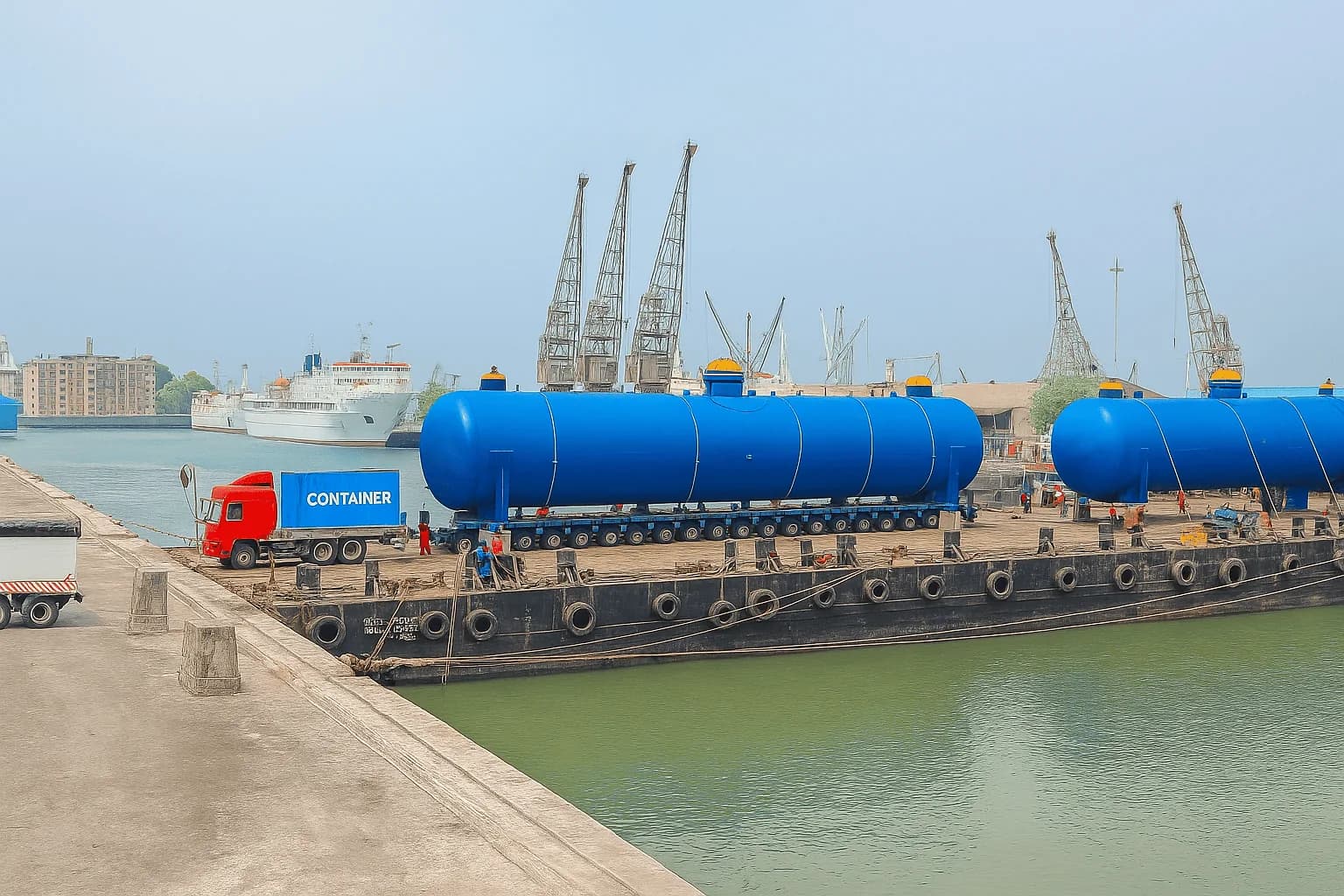
Two large blue pressure vessels on self-propelled modular trailers being loaded onto a barge at a dockside, with harbour cranes and a ship behind.ODC Route Feasibility Study Report

Movement of Over-Dimensional Cargo from the highway corridors to a port

Route feasibility and engineering assessment for inbound ODC movement from the nearest National Highway corridors to the port gate. Evaluates highway connectivity, port approach roads, last-mile access, turning radius, bridge and flyover clearances, utility obstructions, gate entry feasibility, internal port road movement, berth accessibility, RORO and LOLO suitability, bottleneck locations and risk factors.

Asia PacificIndiaScoped per route
Request this report
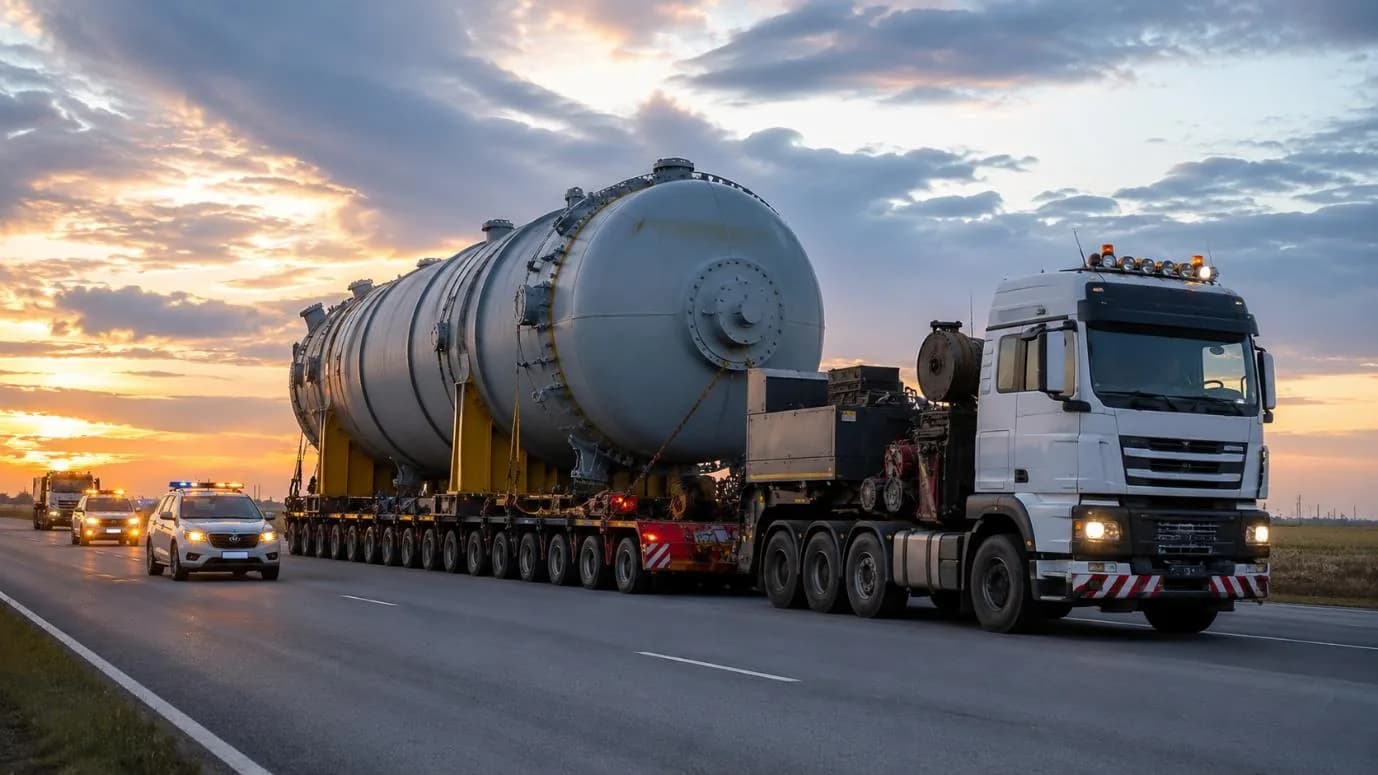
A large pressure vessel on a multi-axle hydraulic trailer hauled by a white prime mover at sunset, with escort vehicles ahead showing warning lights.ODC Route Feasibility Study Report

Outward movement of Over-Dimensional Cargo from a port to the highway corridors

Route engineering and logistics feasibility for the outward evacuation of ODC from a port to the nearest National Highway corridors. Evaluates port exit feasibility, internal port road circulation, gate movement constraints, heavy-haul connectivity, turning radius requirements, bridge clearances, overhead utility obstructions, road width, pavement condition, traffic management and onward highway access.

Asia PacificIndiaScoped per route
Request this report
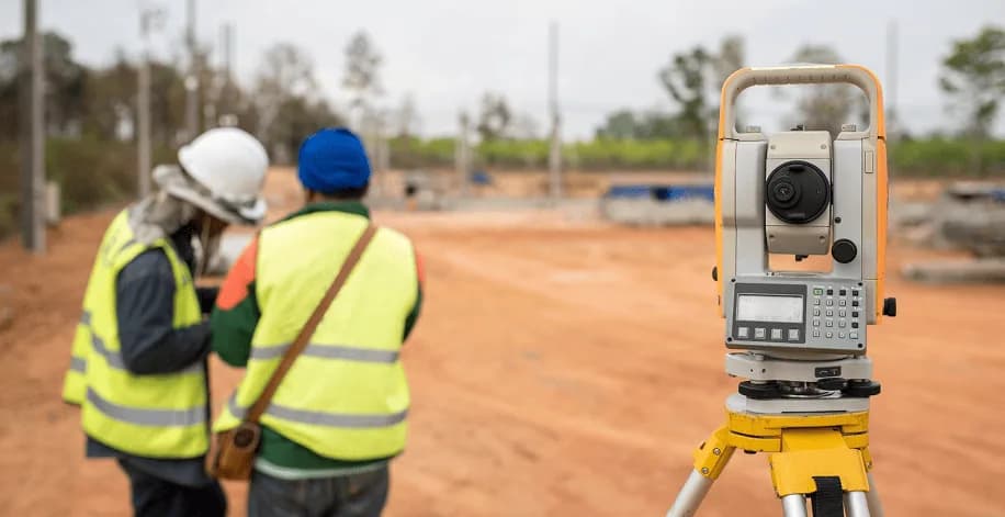
Two surveyors in high-visibility vests conferring over a field notebook beside a total station mounted on a tripod at the roadside.Route Survey Report

Point-to-point route survey with a GPS-referenced obstruction schedule

A driven survey of a named origin-to-destination route, recording every obstruction with chainage, GPS coordinates, measured clearances, photographs and the vehicle movement required at each point. Issued with route map, GA drawing, GPX track and a section-by-section difficulty assessment.

Asia PacificIndiaAfricaScoped per route
Request this report

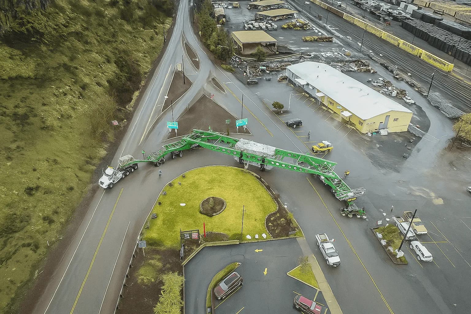
Aerial view of an extremely long green girder trailer negotiating a road junction and roundabout, its rear steering dolly swinging wide across the opposite carriageway.Corridor Feasibility Report

Corridor feasibility assessment for a repeat heavy-cargo programme

Where a corridor will carry several consignments, this assesses the route once against a defined cargo envelope and sets out what has to be cleared, strengthened or avoided for the programme as a whole — so surveys, permits and equipment can be sequenced rather than chased per movement.

Asia PacificIndiaMiddle EastScoped per route
Request this report
A pressure vessel on a low-bed trailer beside a freight locomotive and a container ship at a port, with an aircraft overhead.Port Connectivity Report

Port connectivity and approach assessment for project cargo

Assessment of a port's suitability for a given consignment: approach roads, gate and internal circulation, berth and jetty access, laydown availability, ground bearing at the wharf, and the road or barge interface for the onward leg.

Asia PacificIndiaScoped per route
Request this report

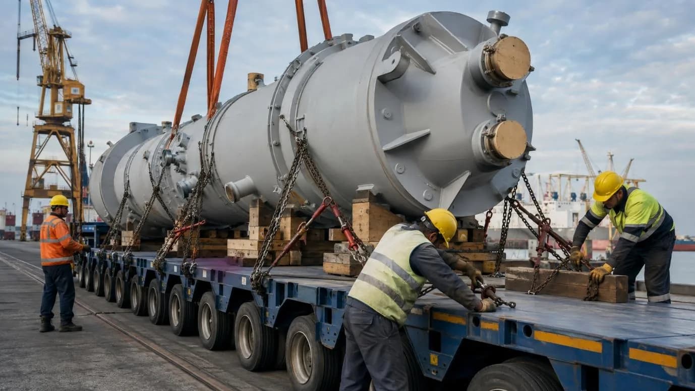
Workers in high-visibility clothing chaining and lashing a large industrial vessel onto a multi-axle trailer at a quayside, with a crane overhead.Heavy Cargo Movement Report

Heavy cargo movement plan with method statement

The executable plan for a specific consignment: trailer and prime-mover configuration, axle loading, lifting method at both ends, traffic windows, escort and utility coordination, and the point-by-point actions required along the surveyed route.

Asia PacificIndiaAfricaMiddle EastScoped per route
Request this report
02What's Inside

Seven sections, in the order you need them

The obstruction schedule is the body of the document and everything else exists to make it readable — what the cargo is, where the route runs, and what has to happen at each point before the consignment can pass.

  1. 01

    Project and cargo summary

    The consignment the route was surveyed for — dimensions, weight, the trailer configuration assumed, and the origin and destination.

  2. 02

    Route summary

    Start, intermediate and end locations with total surveyed distance, and the overall difficulty position for the route.

  3. 03

    Obstruction schedule

    The body of the report. Every point in chainage order with its category, measured clearances, GPS coordinates, photographs, required vehicle movement and remarks.

  4. 04

    Photographs

    Field images placed against the point they belong to, selected for the report rather than dumped in an appendix.

  5. 05

    Route map

    The surveyed line with the obstruction points plotted along it.

  6. 06

    GA drawing

    General arrangement of the cargo on the trailer, carrying the dimensions every clearance in the report was checked against.

  7. 07

    Remarks and required action

    Per point: clearable, avoidable or blocking — and what specifically has to happen, by whom, before the movement can pass.

Two people reviewing charts and a laptop across a table at a container yard, with stacked containers and a truck behind them.
PLATE 03

The report is what the conversation is held against

Written to be handed over

A survey report is only worth producing if the people who did not drive the route can act on it — the transporter planning the run, the authority assessing the application, the utility owner scheduling a shutdown. That is why every point carries a measurement, a coordinate and a photograph rather than a description.

A survey records far more than belongs in a report. After the fieldwork the points are reviewed and the ones that matter are selected for the document, so the schedule carries the constraints that affect the movement rather than every frame captured on the road.

03Formats

Issued in the formats each reader actually needs

An editable master for your own team, a fixed version for circulation, and a navigable track for the vehicle. It is your document once issued.

Word document

The editable master, issued as a .docx so your own team can annotate it or fold it into a larger submission.

PDF

The fixed version for circulation to authorities, clients and insurers, where layout has to stay put.

GPX track

The surveyed route and its points as a GPS file, for navigation devices in the prime mover and escort vehicles.

On approvals: the report is written to be the technical content behind an oversize or overweight application, but the permit itself is issued by the competent road, bridge, rail or utility authority. GTS prepares and coordinates the submission — we do not issue approvals.

04Questions

Report FAQs

8 questions on contents, formats, how the report is produced and who it is written for.

New to this? Start with what a route survey covers, then come back to the deliverable.

What is in a route survey report?

A project and cargo summary, a route summary with start, intermediate and end locations and the total surveyed distance, the obstruction schedule with every point in chainage order, the field photographs placed against their points, the route map, the GA drawing, and the remarks and required action per obstruction.

What formats is the report issued in?

An editable Word document as the master, so your own team can annotate it or fold it into a larger submission; a PDF for circulation to authorities, clients and insurers where the layout has to stay put; and a GPX track of the surveyed route and its points for navigation devices in the prime mover and escort vehicles.

How is the report produced?

The field survey captures each point with its chainage, coordinates, measurements and photographs. Points are then reviewed and the ones that belong in the document are selected, so the report carries what matters rather than every frame recorded. The route map and GA drawing are added, and the document is generated from that dataset.

What does the required-action column mean?

Each obstruction is classified as clearable, avoidable or blocking, and the action names what specifically has to happen and by whom — a cable raise scheduled with its owner, a culvert plated, a signboard temporarily removed, a diversion taken, or a turn negotiated in a particular sequence.

Can the report be used directly in a permit application?

It is written to be. The obstruction schedule, route map, GA drawing and structure list are the technical content an oversize or overweight application is built from. The application itself is submitted to the competent authority, which issues the permit — we prepare and coordinate the submission rather than issue any approval.

Who normally uses the report?

EPC and project teams for feasibility and transport basis of design; transporters and heavy-haulage crews, who plan and drive the run against it; road and bridge authorities and utility owners, as the technical basis of a submission; plant owners and consignees, for site access and laydown; and insurers and risk teams, as documented evidence of the route chosen and the controls around it.

Can the report be shared with our contractors and authorities?

Yes — it is your document once issued. It is produced in formats that circulate cleanly, and it is written so that someone who has not driven the route can still work from it, which is the whole point of the photographic and GPS record.

How do I request a survey and report?

Send the cargo dimensions and weight, the origin and destination named to the site, and your target movement window. If the route is already fixed, say so; if you want alternatives assessed, say that instead. We will come back with a survey scope and the basis on which the report would be produced.

See every question we are asked →

Connect with us for a survey and report

For More Enquiries